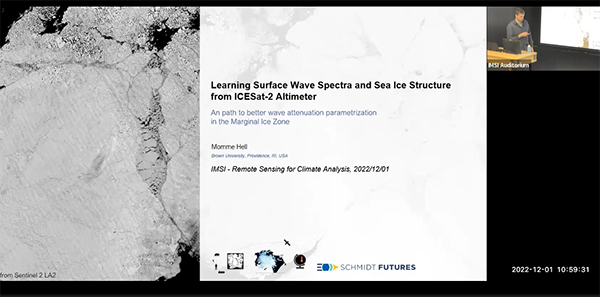
Directional Surface Wave Spectra And Sea Ice Structure from ICEsat-2 Altimetry
Presenter
December 1, 2022
Event: 37468
Abstract
Sea ice plays an important role in Earth's energy budget by impacting surface albedo and air-sea fluxes in polar regions. On its margins, sea ice is heavily impacted by waves, and we currently do not have routine observations of waves in sea ice and lack an understanding of how waves interact with sea ice and how they attenuate.
In this paper, we propose methods to separate the two-dimensional (2D) surface wave spectra from sea ice height observations along each ICESat-2 track. A combination of a linear inverse method, called Generalized Fourier Transform (GFT), to estimate the wave spectra along each beam and a Metropolitan Hasting algorithm to estimate the dominant wave's incident angle was developed. It allows us to estimate the 2D wave signal and its uncertainty from the high-density, unstructured ATL03 ICESat-2 photon retrievals. The GFT is applied to re-binned photon retrials on 25 km segments for all six beams and outperforms a discrete Fourier transform in accuracy while having fewer constraints on the data structure.
The Metropolitan Hasting algorithm infers the wave direction from beam pairs every 25 km using coherent crests of the most energetic waves. Both methods together allow a decomposition into a 2D surface wave spectra with the advantage that the residual surface heights can potentially be attributed to other sea ice properties. The described method can routinely decompose ICESat-2 tracks and constrain wave attenuation in sea ice.
