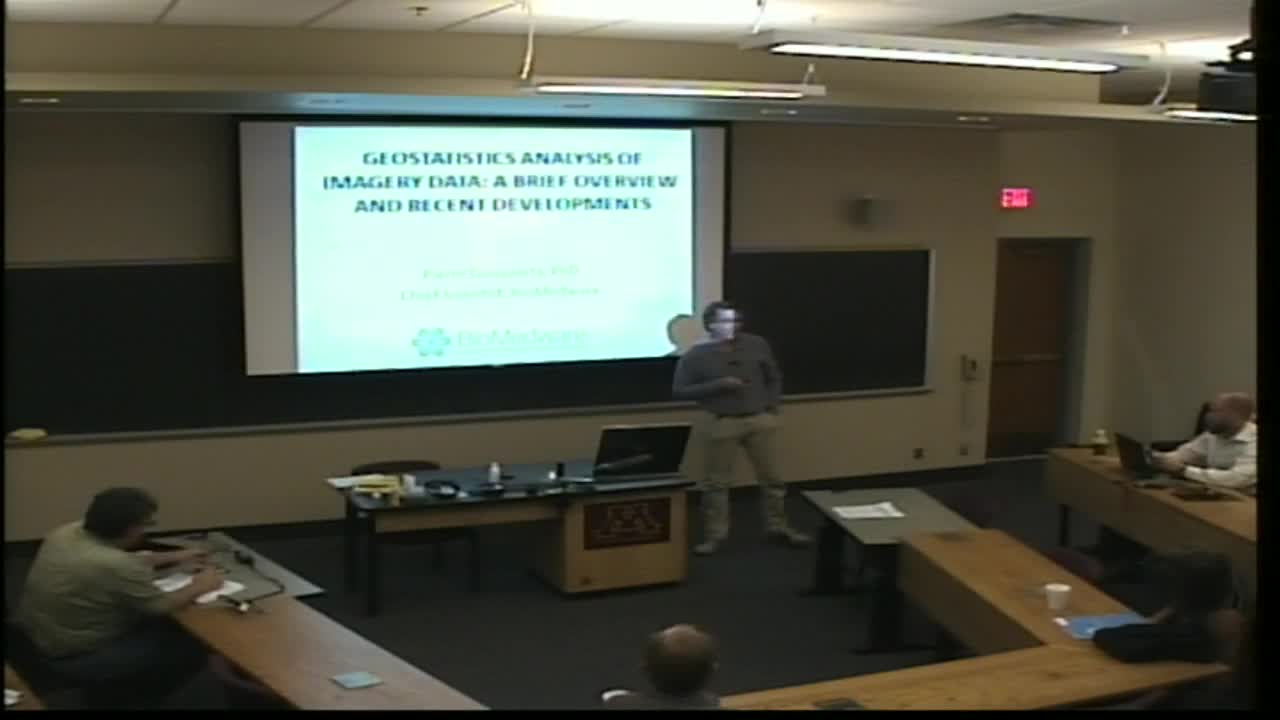
Geostatistics Analysis of Imagery Data: A Brief Overview and Recent Developments
Presenter
September 26, 2013
Keywords:
- Geostatistics
MSC:
- 86A32
Abstract
Geostatistics provides a set of statistical tools for the analysis of data distributed in space and time. Since its development in the mining industry, geostatistics has emerged as the primary tool for spatial data analysis in various fields, ranging from earth and atmospheric sciences, to agriculture, soil science, environmental studies, and more recently exposure assessment. This presentation provides a broad overview of the range of applications of geostatistics to remotely sensed data, including the description of spatial patterns through semivariograms, the estimation of missing pixels by kriging, and the filtering or spatial decomposition of spectral values by kriging analysis. This will be followed by the description of recent developments for: 1) the automatic detection of anomalies in images using local indicators of spatial autocorrelation, 2) merging of data measured on different spatial supports using area-to-point kriging, and 3) the classification of time series of Landsat imagery.
