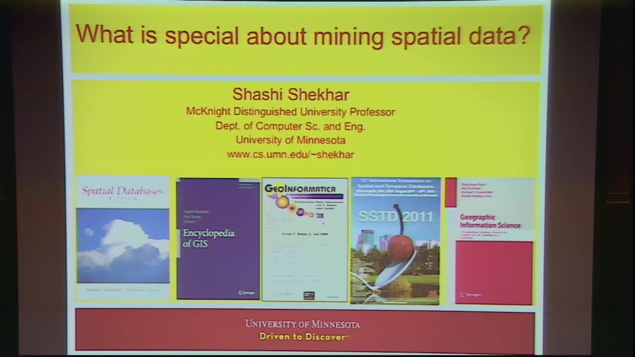
What is special about mining spatial and spatio-temporal datasets?
Presenter
January 24, 2017
Abstract
The importance of spatial and spatio-temporal data mining is growing with the increasing incidence and importance of large datasets such as trajectories, maps, remote-sensing images, census and geo-social media. Applications include Public Health (e.g. monitoring spread of disease, spatial disparity, food deserts), Public Safety (e.g. crime hot spots), Public Security (e.g. common operational picture), Environment and Climate (change detection, land-cover classification), M(obile)-commerce (e.g. location-based services), etc.
Classical data mining techniques often perform poorly when applied to spatial and spatio-temporal data sets because of the many reasons. First, these dataset are embedded in continuous space with implicit relationships, whereas classical datasets (e.g. transactions) are often discrete. Second, the cost of spurious patterns (e.g., false positives, chance patterns) is often high in spatial application domains. In addition, one of the common assumptions in classical statistical analysis is that data samples are independently generated. When it comes to the analysis of spatial and spatio-temporal data, however, the assumption about the independence of samples is generally false because such data tends to be highly self correlated. For example, people with similar characteristics, occupation and background tend to cluster together in the same neighborhoods. In spatial statistics this tendency is called autocorrelation. Ignoring autocorrelation when analyzing data with spatial and spatio-temporal characteristics may produce hypotheses or models that are inaccurate or inconsistent with the data set.
Thus new methods are needed to analyze spatial and spatio-temporal data to discover interesting, useful and non-trivial patterns. This talk surveys some of the new methods including those for discovering hotspots (e.g., circular, linear, rings), interactions (e.g. co-locations , co-occurrences, tele-connections), detecting spatial outliers and location prediction along with emerging ideas on spatio-temporal pattern mining.
Shashi Shekhar is a Mcknight Distinguished University Professor at the University of Minnesota (Computer Science faculty). For contributions to geographic information systems (GIS), spatial databases, and spatial data mining, he was elected an IEEE Fellow as well as an AAAS Fellow and received the IEEE-CS Technical Achievement Award, and the UCGIS Education Award. He was also named a key difference-maker for the field of GIS by the most popular GIS textbook . He has a distinguished academic record that includes 300+ refereed papers, a popular textbook on Spatial Databases (Prentice Hall, 2003) and an authoritative Encyclopedia of GIS (Springer, 2008).
Shashi is serving as a co-Editor-in-Chief of Geo-Informatica : An International Journal on Advances in Computer Sciences for GIS (Springer), and a series editor for the Springer-Briefs on GIS. Earlier, he served on the Computing Community Consortium Council (2012-15), and multiple National Academies' committees including Models of the World for USDOD-NGA (2015), Geo-targeted Disaster Alerts and Warning (2013), Future Workforce for Geospatial Intelligence (2011), Mapping Sciences (2004-2009) and Priorities for GEOINT Research (2004-2005). He also served as a general or program co-chair for the Intl. Conference on Geographic Information Science (2012), the Intl. Symposium on Spatial and Temporal Databases (2011) and ACM Intl. Conf. on Geographic Information Systems (1996). He also served on the Board of Directors of University Consortium on GIS (2003-4), as well as the editorial boards of IEEE Transactions on Knowledge and Data Eng. and IEEE-CS Computer Sc. & Eng. Practice Board.
In early 1990s, Shashi's research developed core technologies behind in-vehicle navigation devices as well as web-based routing services, which revolutionized outdoor navigation in urban environment in the last decade. His recent research results played a critical role in evacuation route planning for homeland security and received multiple recognitions including the CTS Partnership Award for significant impact on transportation. He pioneered the research area of spatial data mining via pattern families (e.g. collocation, mixed-drove co-occurrence, cascade), keynote speeches, survey papers and workshop organization. Shashi received a Ph.D. degree in Computer Science from the University of California (Berkeley, CA).
